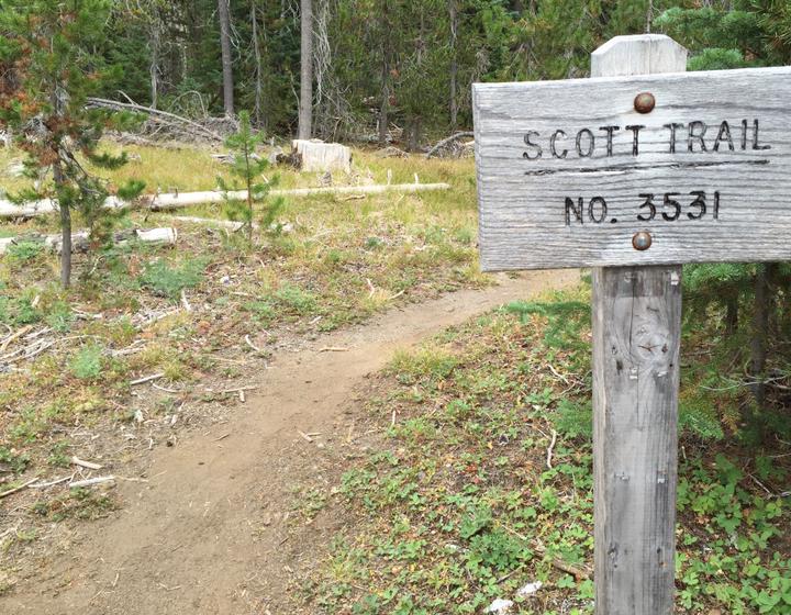
We stayed in a short-term rental in Sisters, Oregon during this week. It was a really great place, and Sarah and Adam came down to join us for an evening, and this day hike in the Three Sisters Wilderness! I knew I'd really enjoy this hike, especially given the eponymous trail name we'd start out on.
We enjoyed the short, winding drive up to McKenzie Pass, pulling off at the trailhead at Scott Lake. We were the only car in the parking lot, which I took to be a brilliant sign. I love hikes that are not too crowded, and we wouldn't see another soul on this hike until about 2 hours in, when we'd see some overnight campers on their way out.
After crossing the road to begin the hike, heading east, we steadily gained elevation as we crossed several lava flows. These flows were punctuated by several forested islands, and soon enough we were at Four-in-One Cone, a series of four cinder cones right next to each other.
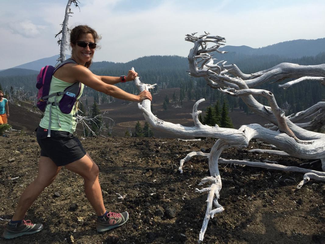
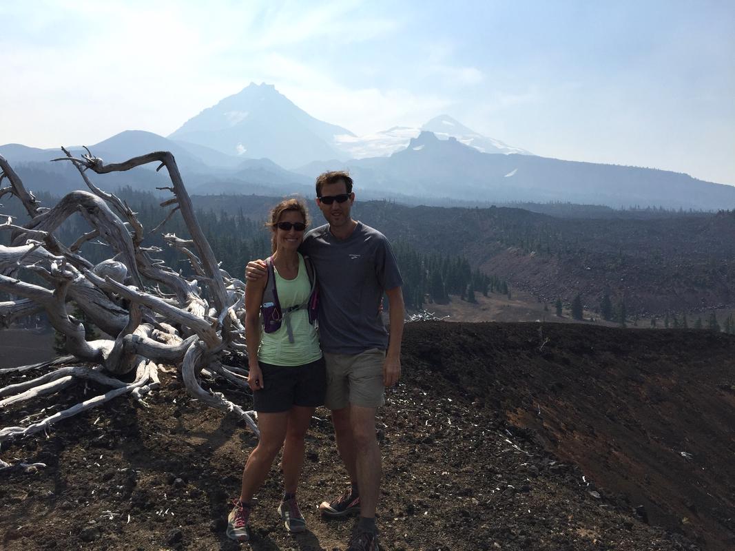
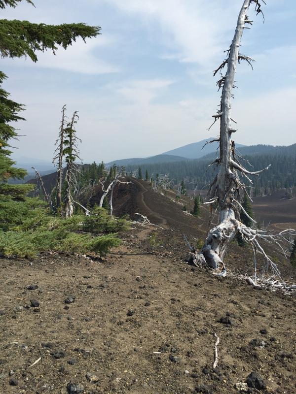
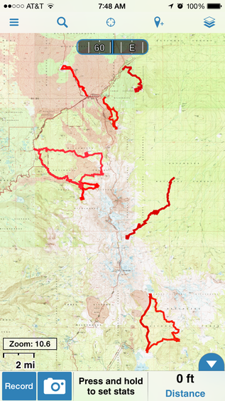
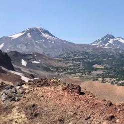
We climbed the trail to the top of the largest cone, enjoying the sweeping views of North and Middle sister. We also picked out the profiles of both Little Brother and Broken Hand, which we hiked during past trips. Using our Gaia GPS app, it was really cool to see the tracks we’ve laid down in the past while in this massive wilderness. Each hike is so different, and the mountains have such different views depending on your vantage point. You can see on this map many of the hikes we've tracked this way: this particular hike is the large loop at the left side of the map.
We left the cinder plains after descending the cones and proceeding to hike across a large meadow to arrive at the junction with the PCT.
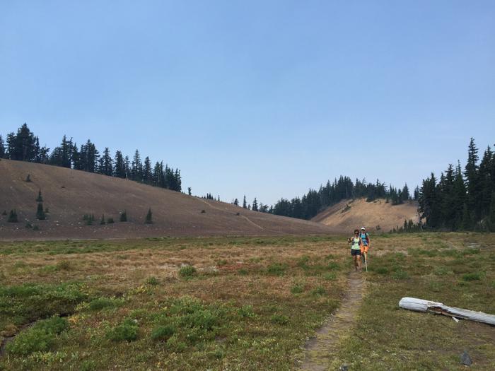
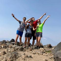
Amy and Sarah, just before the PCT trail junction
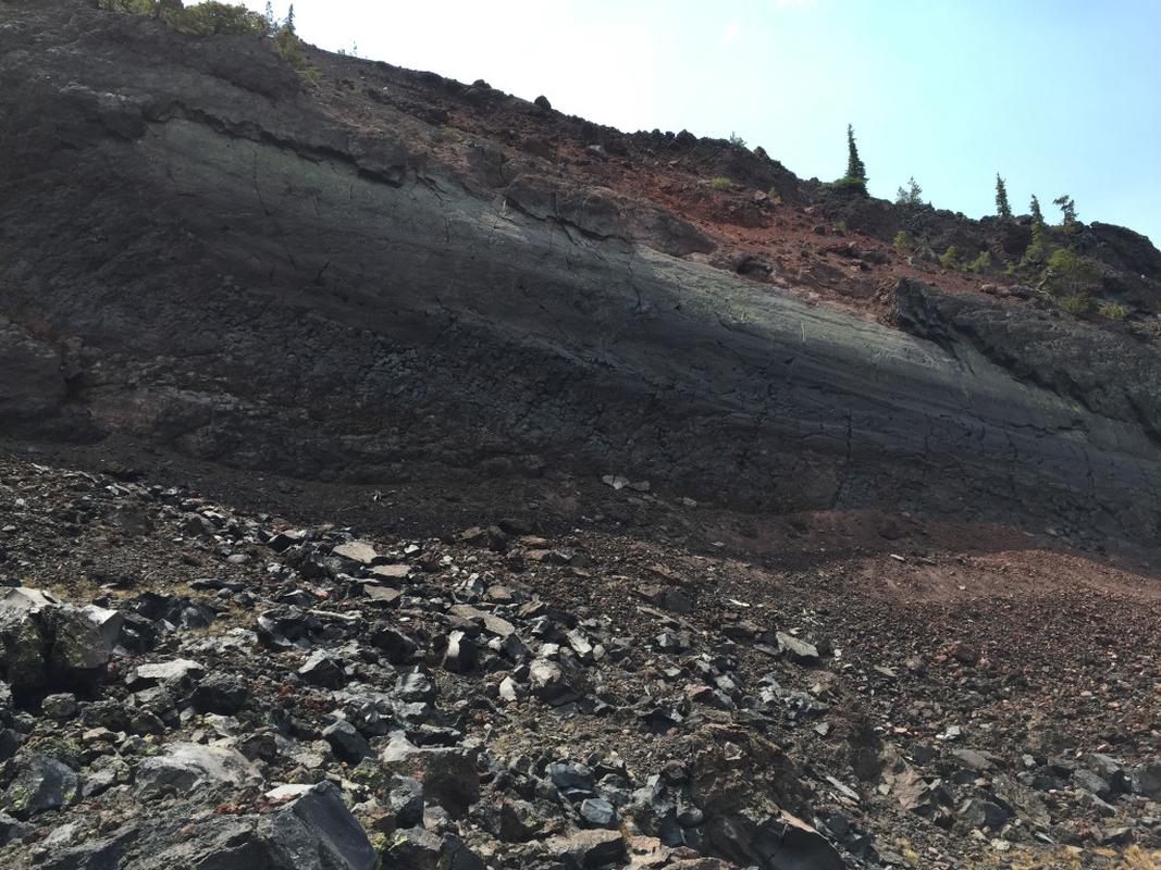
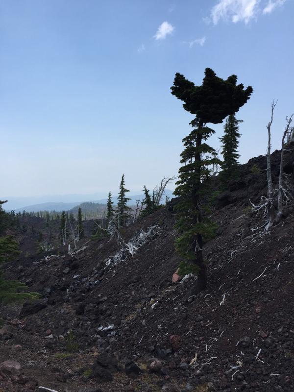
We decided to extend our hike to return to the trailhead via the Obsidian trail, so we ventured South on the PCT. While on the PCT, I saw some amazing things: the massive Collier Cone, some amazing lava formations, and a really gnarly tree with a bushy top that gave us all pause to consider how it grew like that?
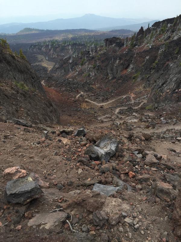
We paused at a .7 mi trail connector to the Obsidian trail to show Sarah and Adam where we’d been the time we camped during the Little Brother weekend. It was cool to see where we’d set up our tent and where we’d gotten water.
The descent down Obsidian was pleasant, and we made good time and had nice conversations. We passed the same lava field again, this time farther to the South, remembering having passed this way in a prior year with the kids.
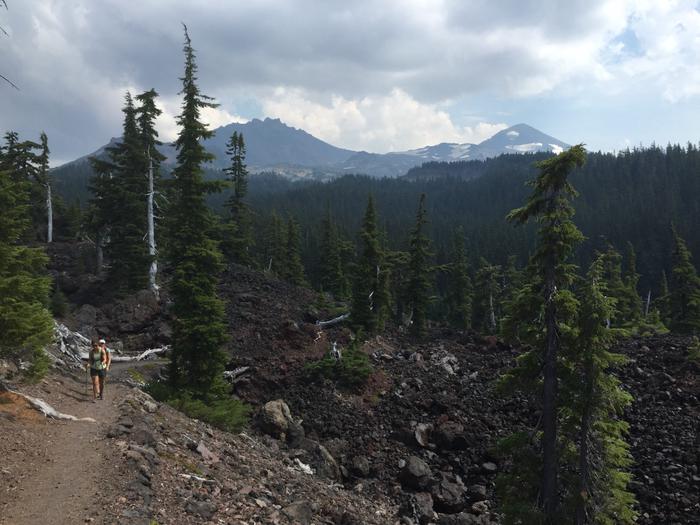
Passing through lava island on the Obsidian trail
I took a photo as we passed from the massive lava island back into the forest. I absolutely love how quickly you can transition from the starkness of lava into the lushness of forest.
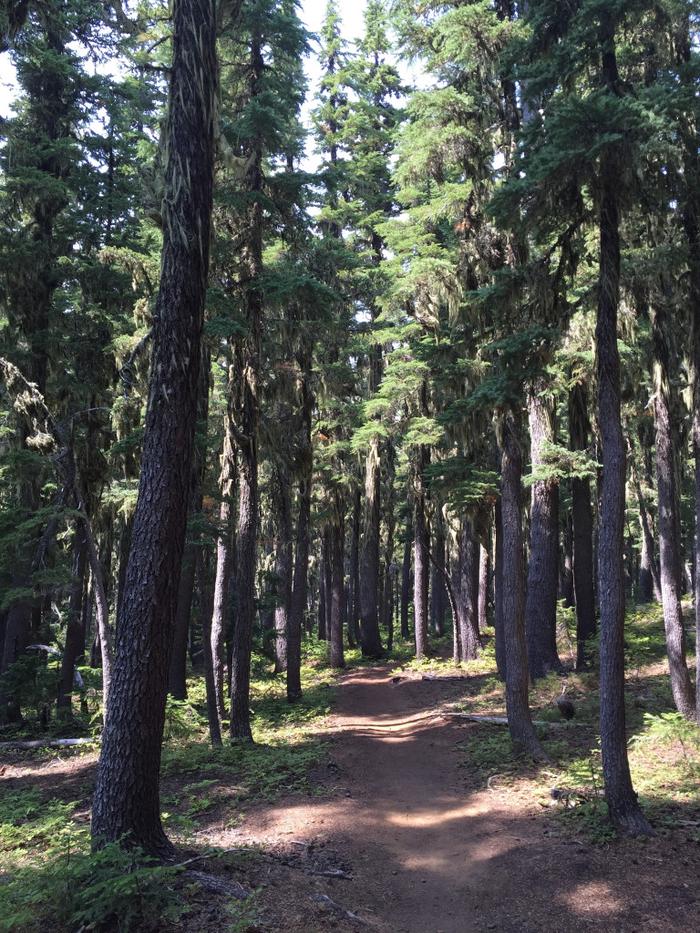
I love the dense forests in Oregon
Soon enough we were back to the Obsidian trailhead, and then took a short spur trail to get back to the Scott Trail parking lot, where we’d started.
Panorama
I took this panorama from the top of Four-in-One Cone. North and Middle Sister dominate the skyline in the middle.

Panorama
By the Numbers: Scott Trail to Four-in-One Cone, Obsidian Trail
I used the Gaia GPS app for my iPhone to track this course, and subsequently loaded it into Strava using the GPX export. Total mileage for the day was 16.28 miles (3,116 feet of gain as reported by GPS) with just over 5.5 hours of hiking.
This is a blend of Hike 43 (Obsidian Trail) and 44 (Four-in-One Cone) in 100 Hikes in the Central Oregon Cascades. There's a great description and map in there. Enjoy!

